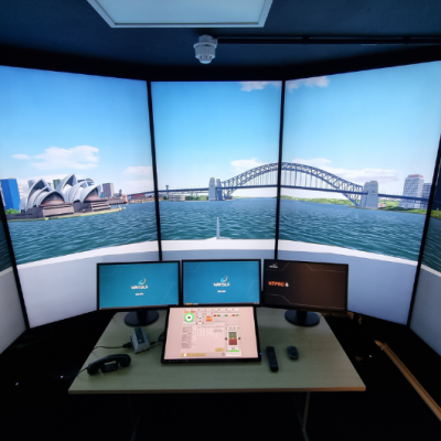
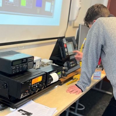
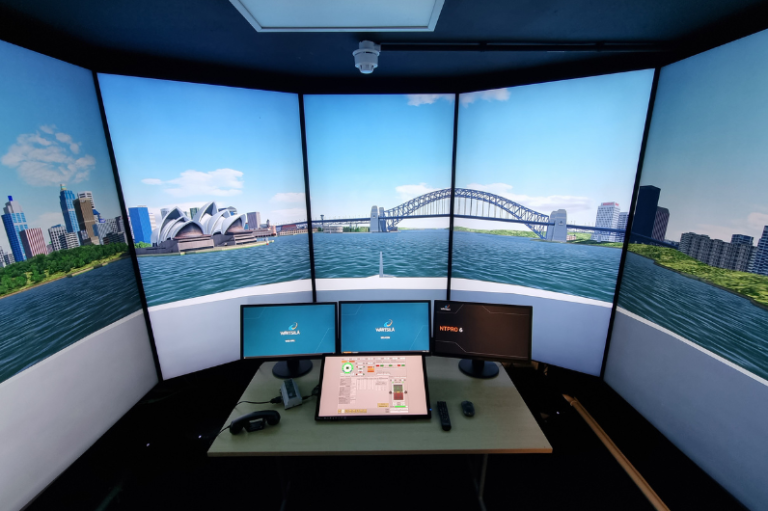
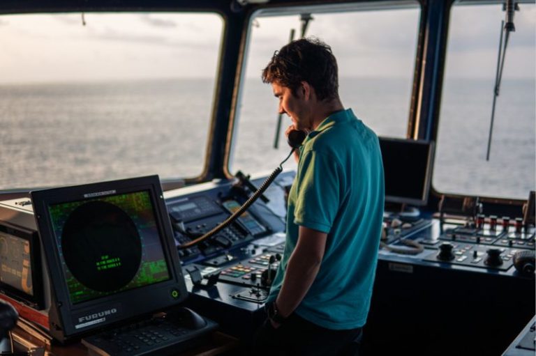
This course is split into two areas, radar theory and operation, and understanding weather reporting and its navigational impact.
By the end of the course you will be able to confidently and effectively use marine radar in real-world scenarios and apply weather information to plan safe passages at sea.
You can find details of the full learning outcomes of this course below.
Radar Theory and Operation
- Explain radar theory and demonstrate its use in practice
- Identify different types of radar and their specific applications
- Use radar for range and bearing measurements, and understand associated limitations
- Understand how horizontal beamwidth affects radar returns, especially from land targets
- Apply ground-stabilised and sea-stabilised modes for accurate readings
- Correctly configure radar displays using performance monitoring tools
- Align heading markers and adjust sea and rain clutter settings for clarity
- Differentiate between relative and true motion displays, trails, and vectors
- Switch between head-up (unstabilised) and north-up (stabilised) views
- Recognise and account for shadow sectors, blind arcs, and false echoes
- Use radar plotting techniques to aid in collision avoidance
- Fix vessel position using radar navigation and parallel indexing
- Operate and evaluate semi-automatic and automatic radar plotters
- Understand the errors and limitations of automatic plotting aids
Understanding Weather Reporting and the Effect on Navigation
- Access and interpret weather reports and forecasts relevant to your voyage
- Factor weather data into your passage planning and decision-making
- Take appropriate action in conditions of reduced visibility
- Recognise operational limitations imposed by poor weather and sea states
- Understand the effect of wind on your track and made-good progress
- Assess how wind can alter tidal streams and currents
- Identify localised weather phenomena and their risks
- Understand how adverse weather can affect navigation sensors and equipment